
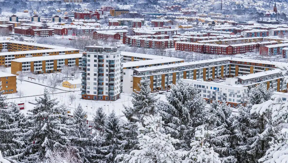
US News: Denver officially kicked off its winter snowfall season overnight as a strong system blanketed much of Colorado with the heaviest snow the metro area has seen in months.
By mid-morning Wednesday, downtown Denver had picked up roughly two inches, while Denver International Airport reported 2.3 inches. Communities west and north of the city, however, saw significantly higher totals. Residents in Boulder, Arvada, and Fort Collins sent in reports of five inches or more, and official measurements from the National Weather Service confirmed several locations topping four inches.
The steady snow created hazardous driving conditions across the state, turning the morning commute into a slow crawl on many highways. Hundreds of flights were delayed or canceled at DIA as crews worked to keep runways and taxiways clear.
National Weather Service reports as of 7:30 a.m. showed the following totals:
- Ouray: 4.8 inches
- Georgetown in Clear Creek County: 4.7 inches
- 3 miles south-southwest of Boulder: 3.8 inches
- 2 miles east-northeast of Vail: 3.5 inches
- 1 mile north-northwest of Louisville: 2.8 inches
- 2 miles west of Kelim in Larimer County: 2.9 inches
- 1 mile south-southwest of Denver International Airport: 2.3 inches
Wednesday remains a Pinpoint Weather Alert Day for the Denver metro area and much of the Front Range. Snow is expected to gradually taper off from west to east through the afternoon and end by early evening, giving road crews time to catch up overnight.
Travelers are advised to check the latest flight status before heading to the airport and to give themselves plenty of extra time on the roads. Conditions should improve quickly once the snow stops, with drier weather moving in for the rest of the week.